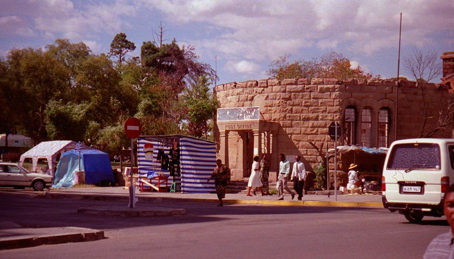
Uneventful drive to the border - easy border crossing, through in fifteen minutes. The capital of Lesotho, Maseru, is right on the border. The city's appearance is pretty shocking. Apparently there was a lot of unrest here last September - and the city still shows the scars. A huge number of buildings are bomber or burned out. A lot more damage than was evident in Beirut last year! We had lunch and spent a few hours wandering around the city - Dean bought a "diamond" from someone who was caring them around in his mouth. It only cost him 160 Maloti (~US$27) and at the least he bought a good story. Then it was time to venture out in to the countryside.
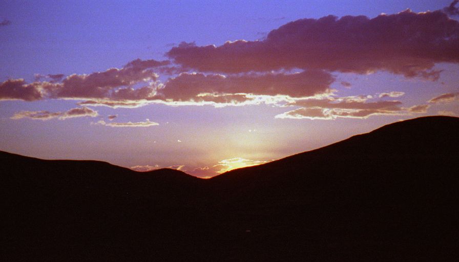
Lesotho's topology is difficult to compare to anywhere else. It's very mountainous with lot's of steep winding roads. in some places it looks a lot like the Rocky mountains around Colorado, in other places it looks a lot like the American South West - lots of plateaus and strange rock formations - but lots greener. In some places it's also reminiscent of pictures from Peru and in others like those from Nepal. Anyway lots of rocks, ridges, and valleys.
The good roads are very good, but the bad roads aren't. Between the altitude, and the steepness and condition of the roads we didn't make very good time and it was well after dark when we finally got to Semonkong - very near the giant Maletsunyane Falls - which we'll explore tomorrow. As we were setting up camp at a lodge the stars were incredible. We whimped out and went in to the lodge's restaurant - it was way to cold to cook. Though neither the temperature nor the light rain prevented us from starting a fire and drinking our customary Amarula nightcap before heading to bed.


